Marais Poitevin, a territory in danger.
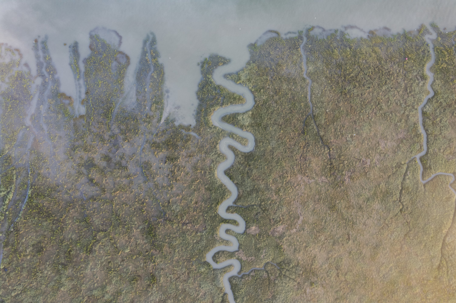
The second-largest Marsh in France after the Camargue, the Marais Poitevin covers 100,000 hectares, between the bay of Aiguillon at the gates of the city of Niort (west of France), at an altitude of between 0 and 8 meters above the level of the sea.
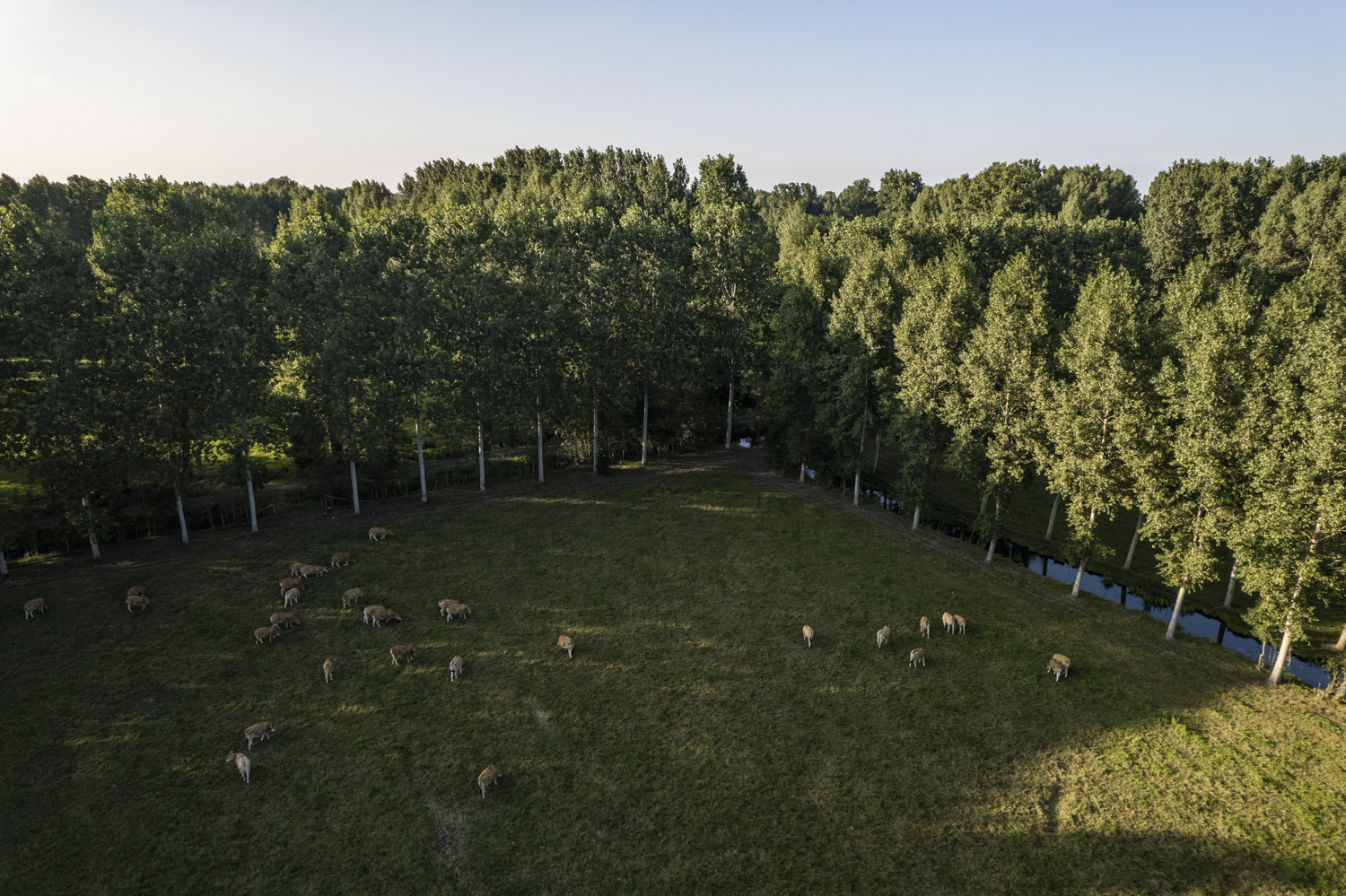
Its 8,000 kilometers of waterways are the result of centuries of determined human work on its environment. Its development began under the leadership of monks nearly a millennium ago and took on a whole new dimension when King Henry IV called on Dutch investors specializing in land reclamation in the 16th century. Its fertile land and abundant water resources have made it a suitable space for agriculture and livestock. From the 1970s, agricultural mechanization moved farms to the plains, on the outskirts of the Marais, while the development of tourism allowed the enhancement of this exceptional site with a unique heritage.
However, this idyllic territory, which welcomes one million four hundred thousand tourists every year, and has an extremely rich flora and fauna, is threatened. According to some projections, based on IPCC reports, the rise in sea level caused by anthropogenic global warming could submerge certain areas of the Marais.
In addition, the increase in the frequency of extreme weather episodes, such as storms (advancement of seawater in freshwater areas) or droughts (drying out of water tables) could upset the delicate balance necessary to the survival of the Marais.
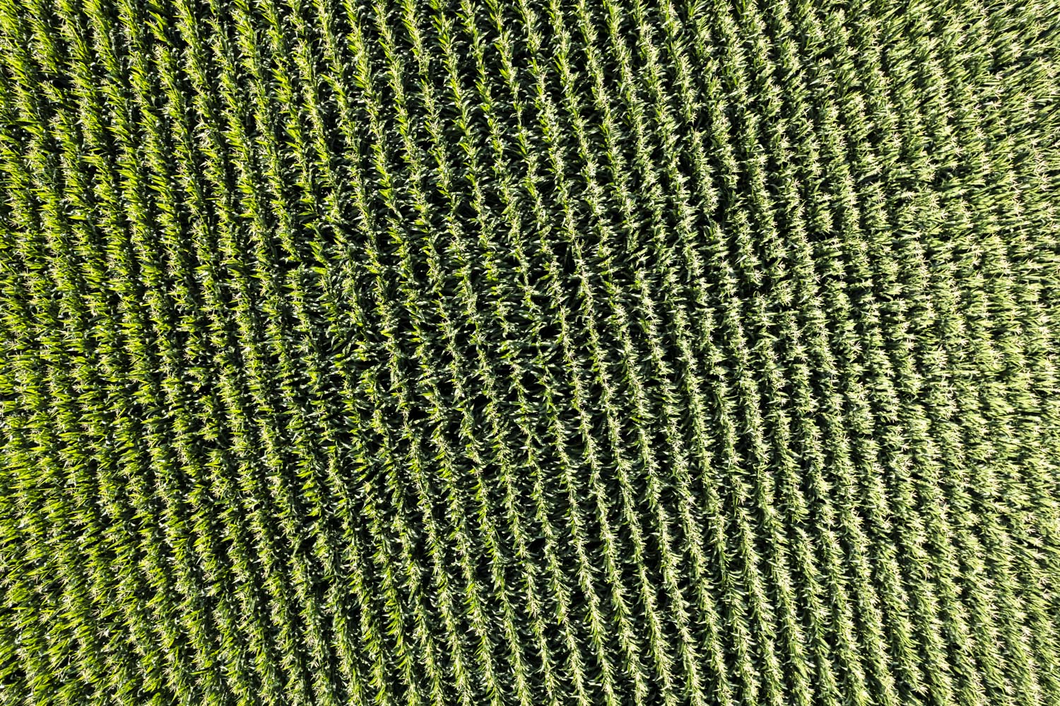
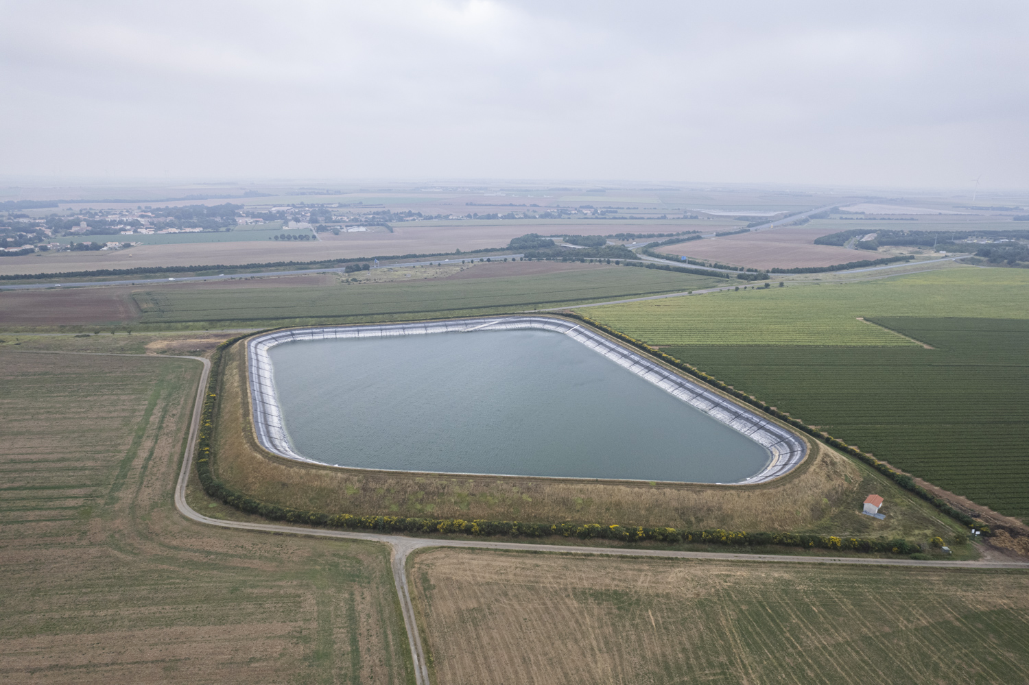
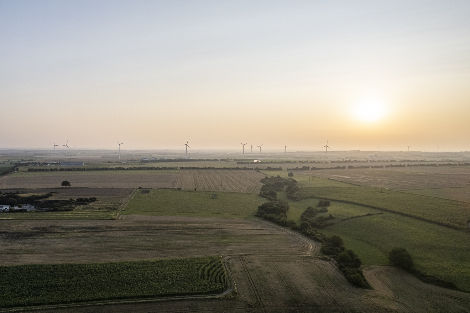
Finally, other more concrete threats, with the proliferation of basins, vast areas of several hectares that are used to store groundwater water, intended for the cultivation of corn at the expense of the Marais, weigh in the medium-term risk of a faster drying up of this wetland, nicknamed « the green Venice ».
Full series in French on Hans Lucas (here).
A short drone video about the Marais poitevin (here).
More publications (here).